

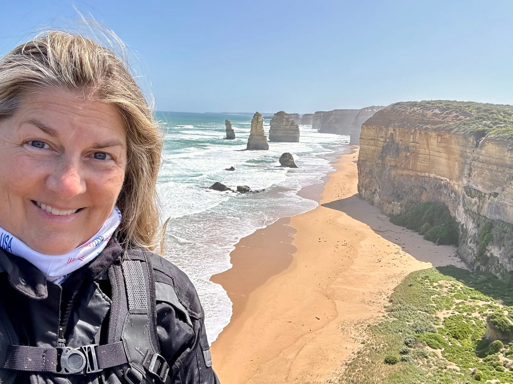
Photo: Michelle Lamphere
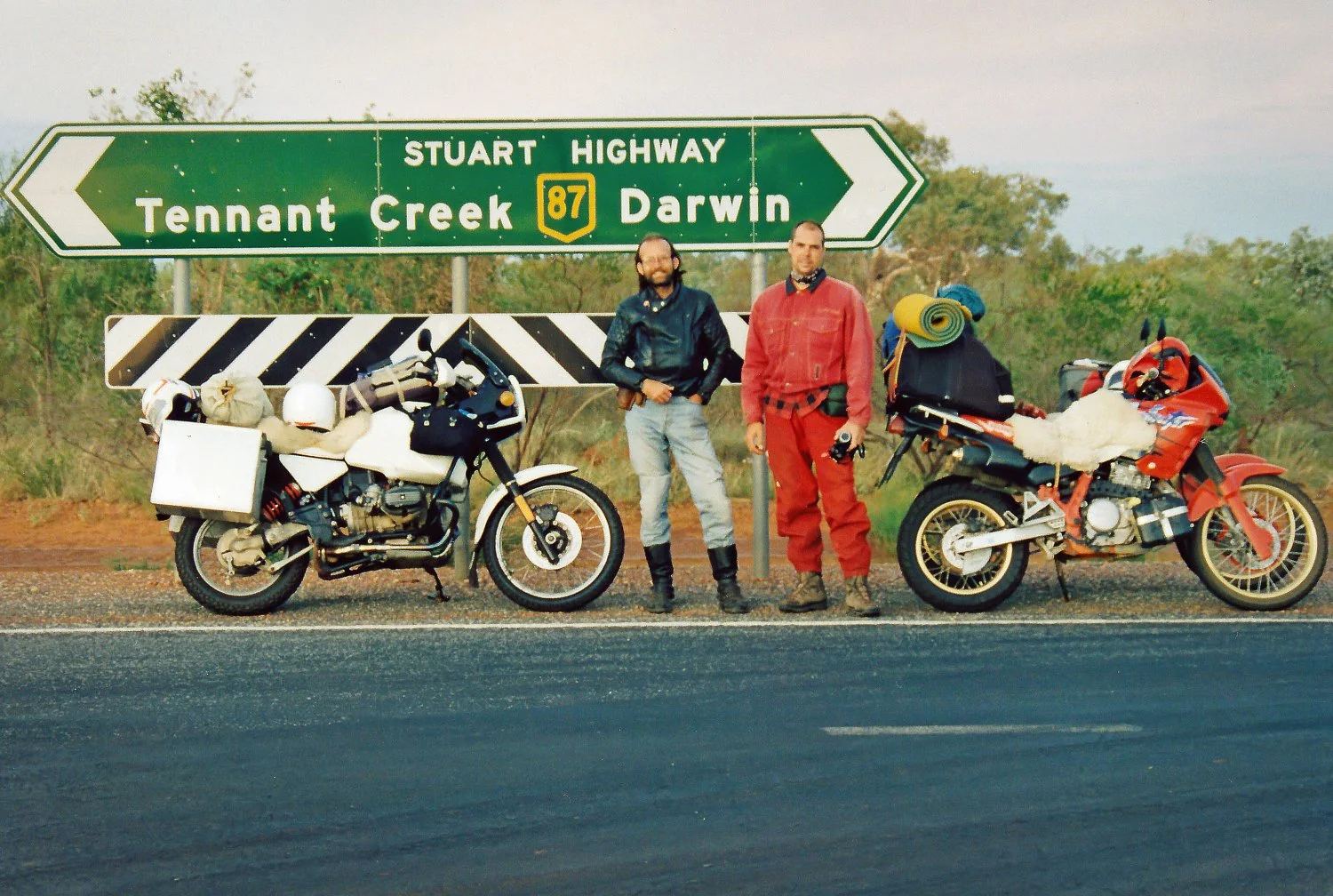
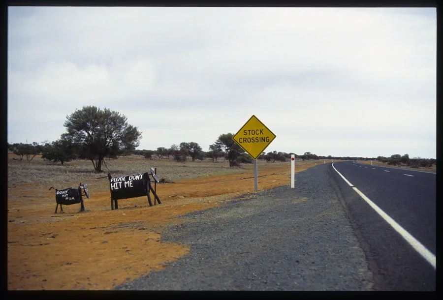
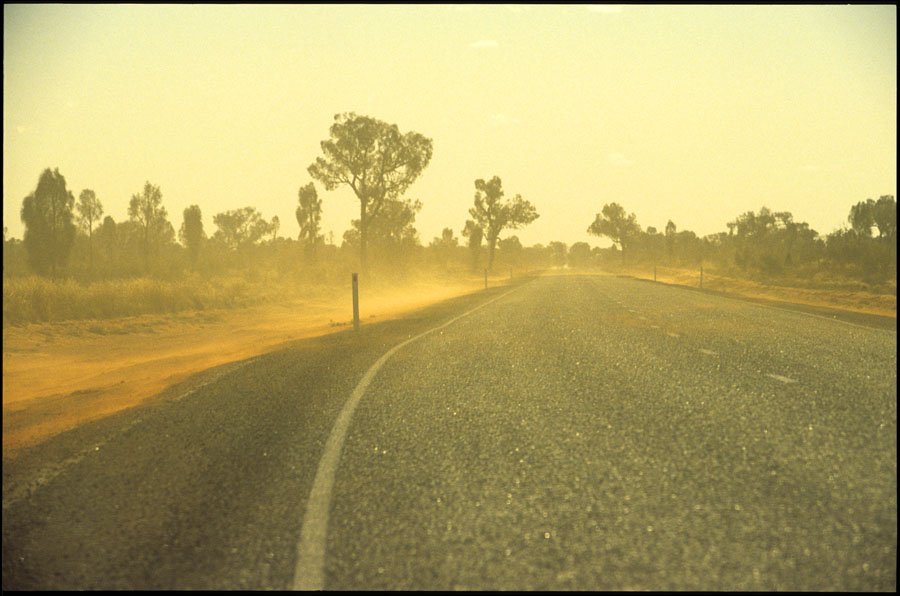
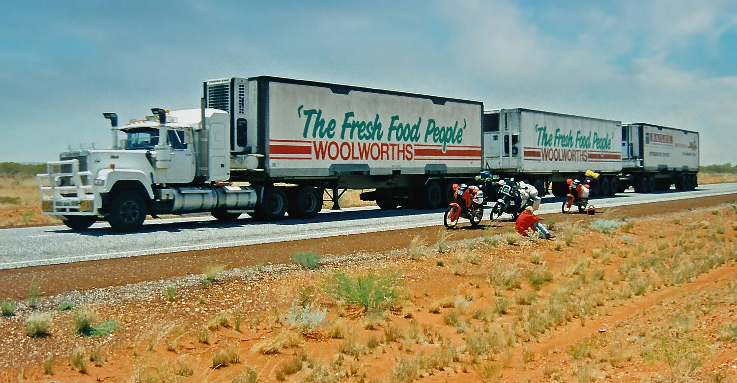
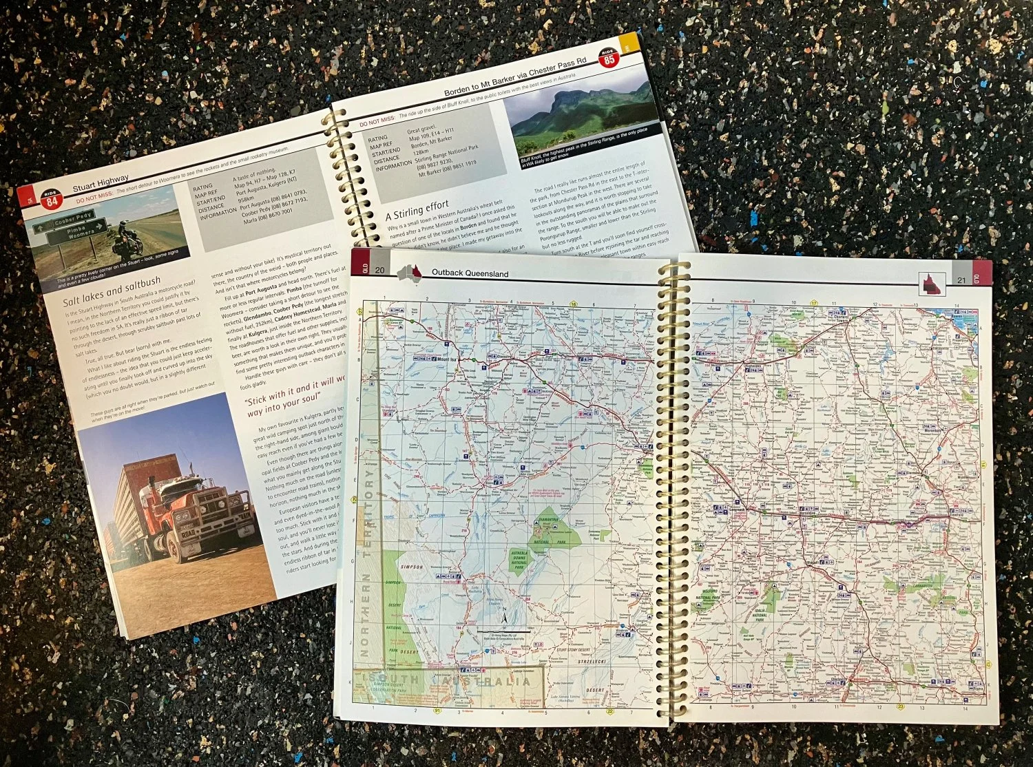
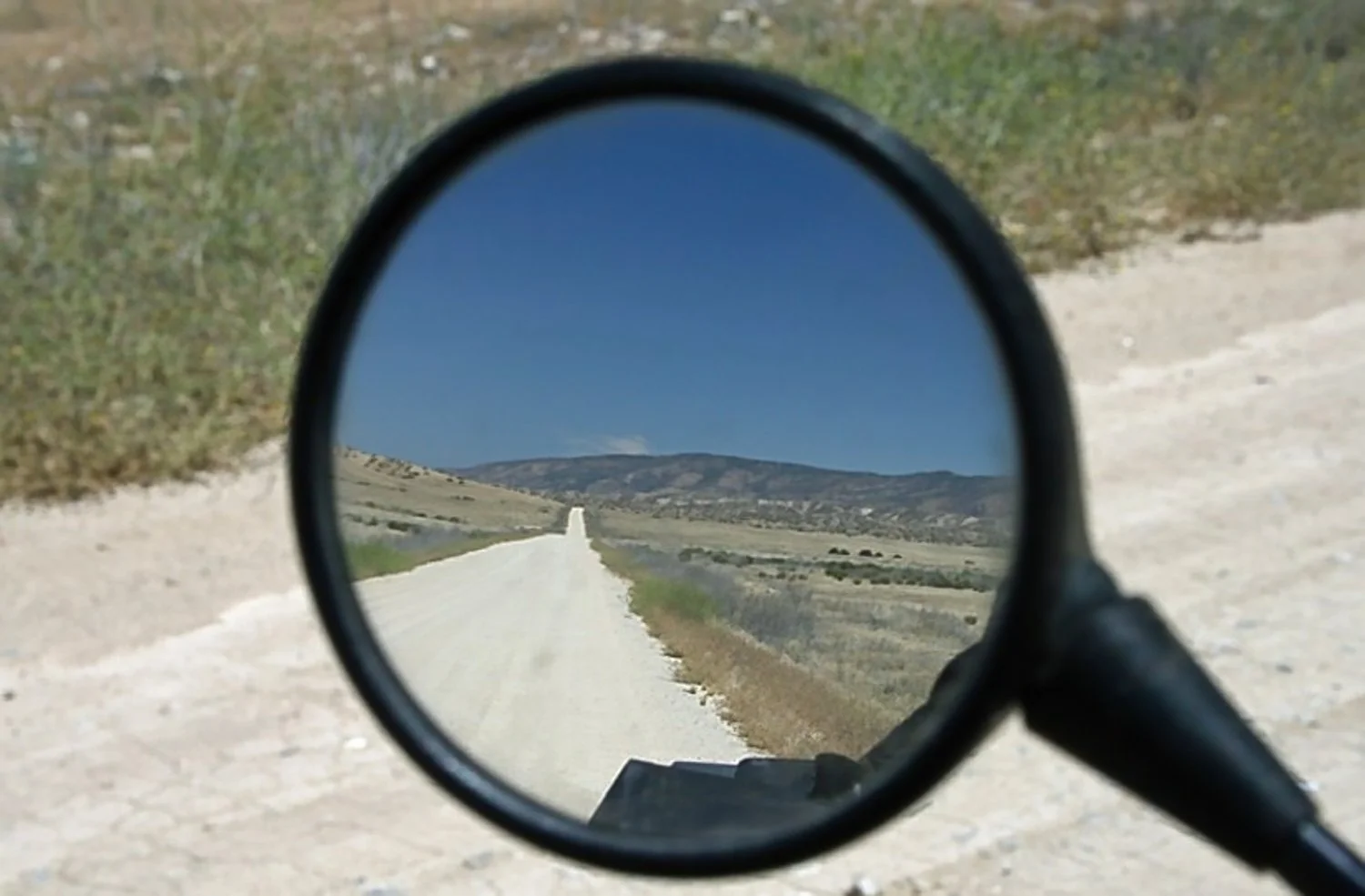
Photo: Sam Manicom - Stuart Highway
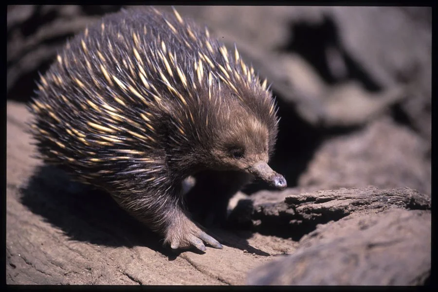
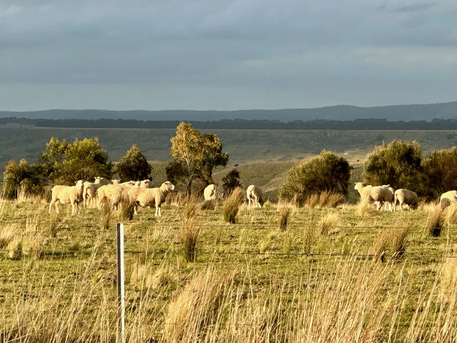
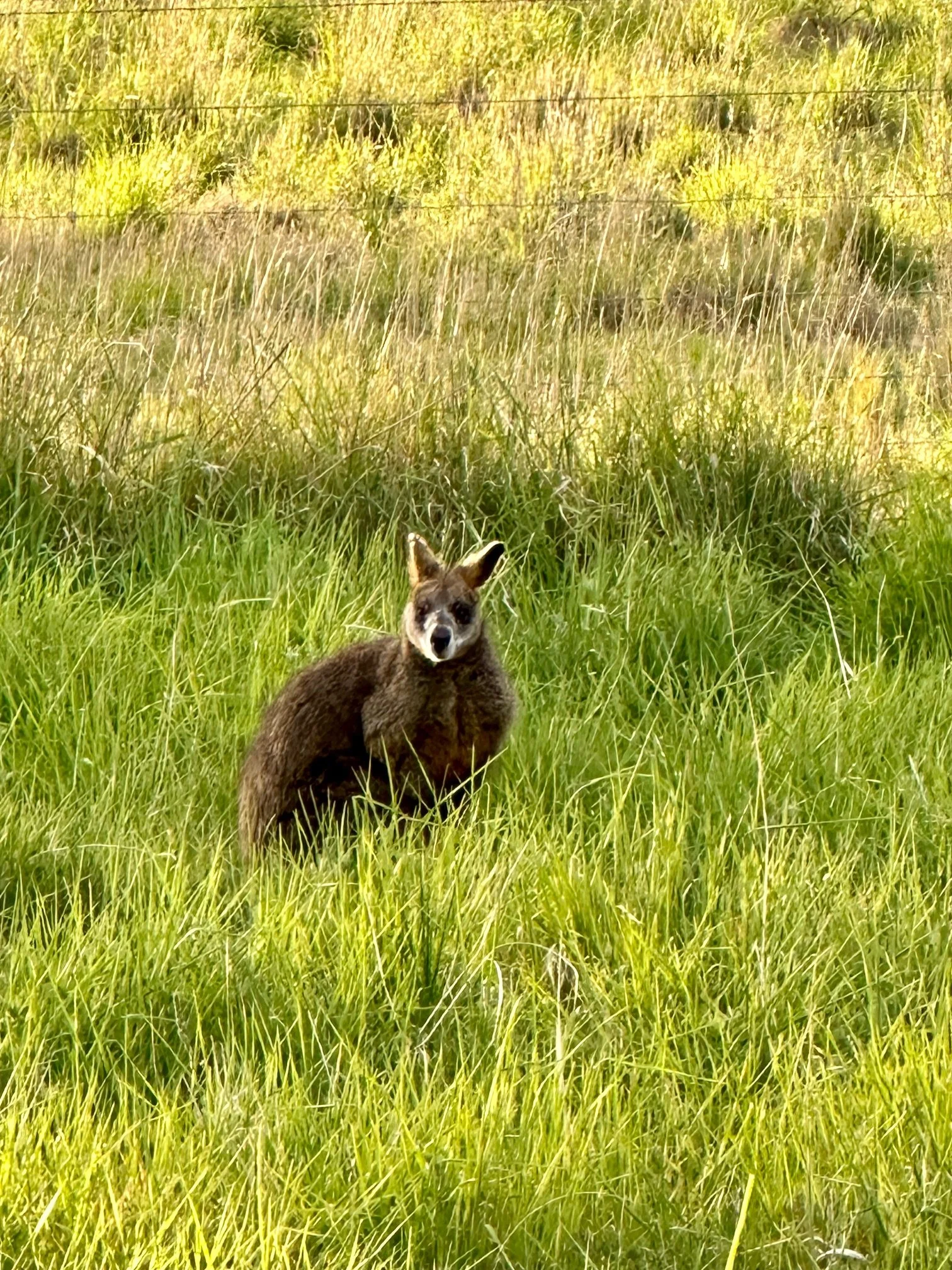
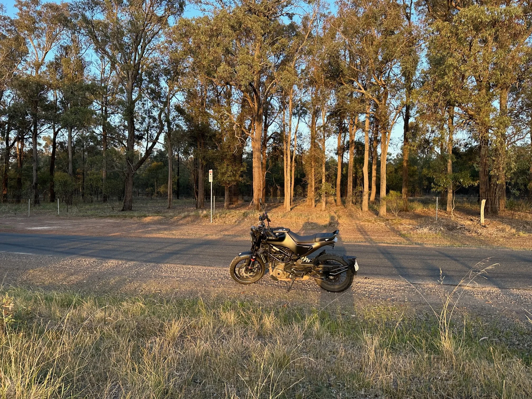
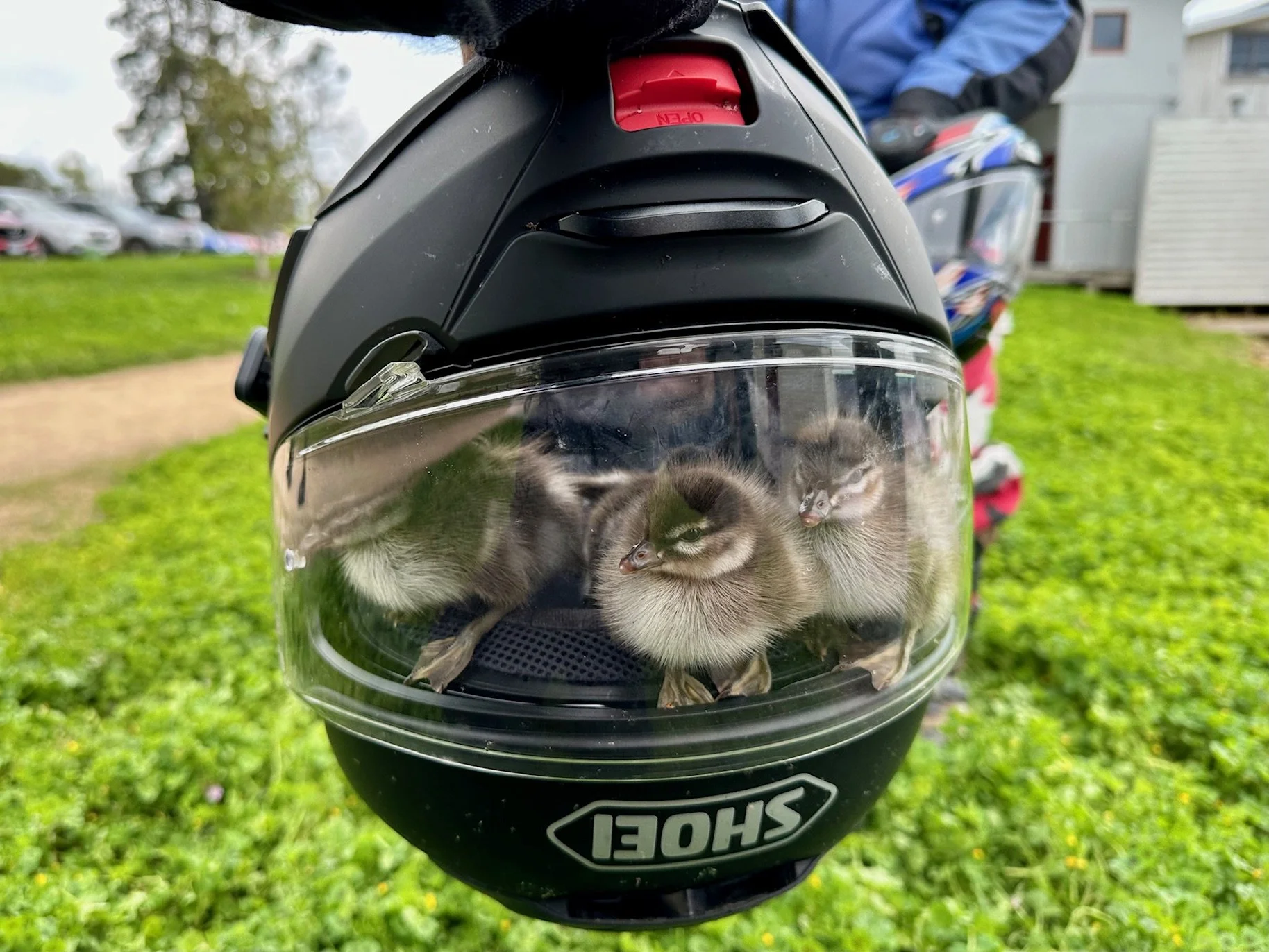
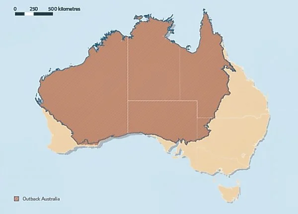
This month we’re talking about adventure motorcycle travel in the Australian Outback. The RAW panel shares stories from their experiences of riding and travelling across Australia: the huge distances, the stretches with no services, the heat, the planning, the wildlife, the road conditions, and the unexpected challenges that seem to come with the territory. We talk about what makes travelling by motorbike in Australia different from other remote places, what draws riders into the Outback, and why preparation matters so much here.
Mentioned in this episode
The Whispering Trails, Guatemala
Women’s International Motorcycle Association
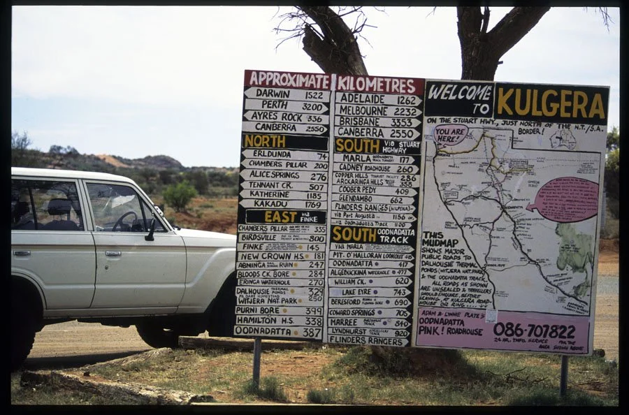
Oodnadatta Track
Outback Way
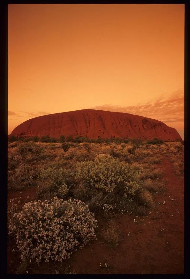
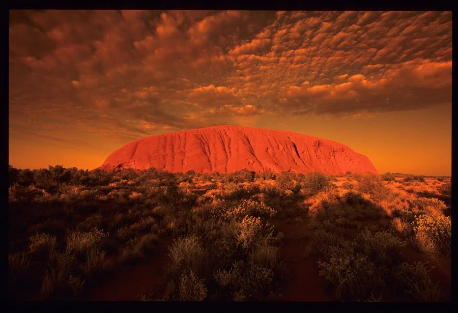
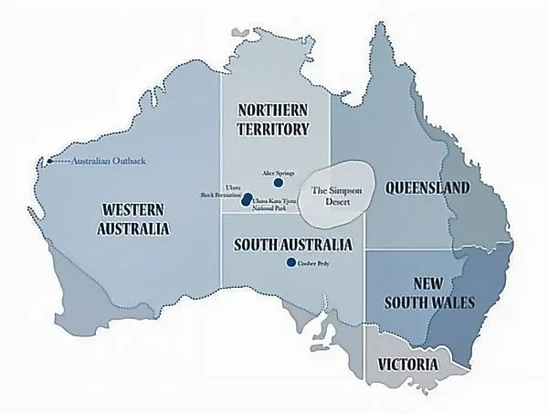
Uluru
Nullarbor
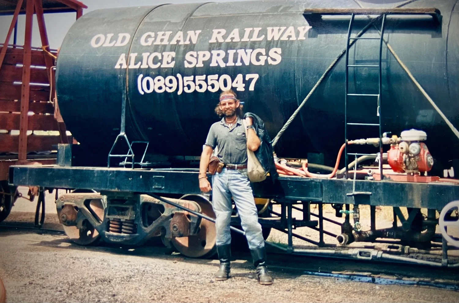
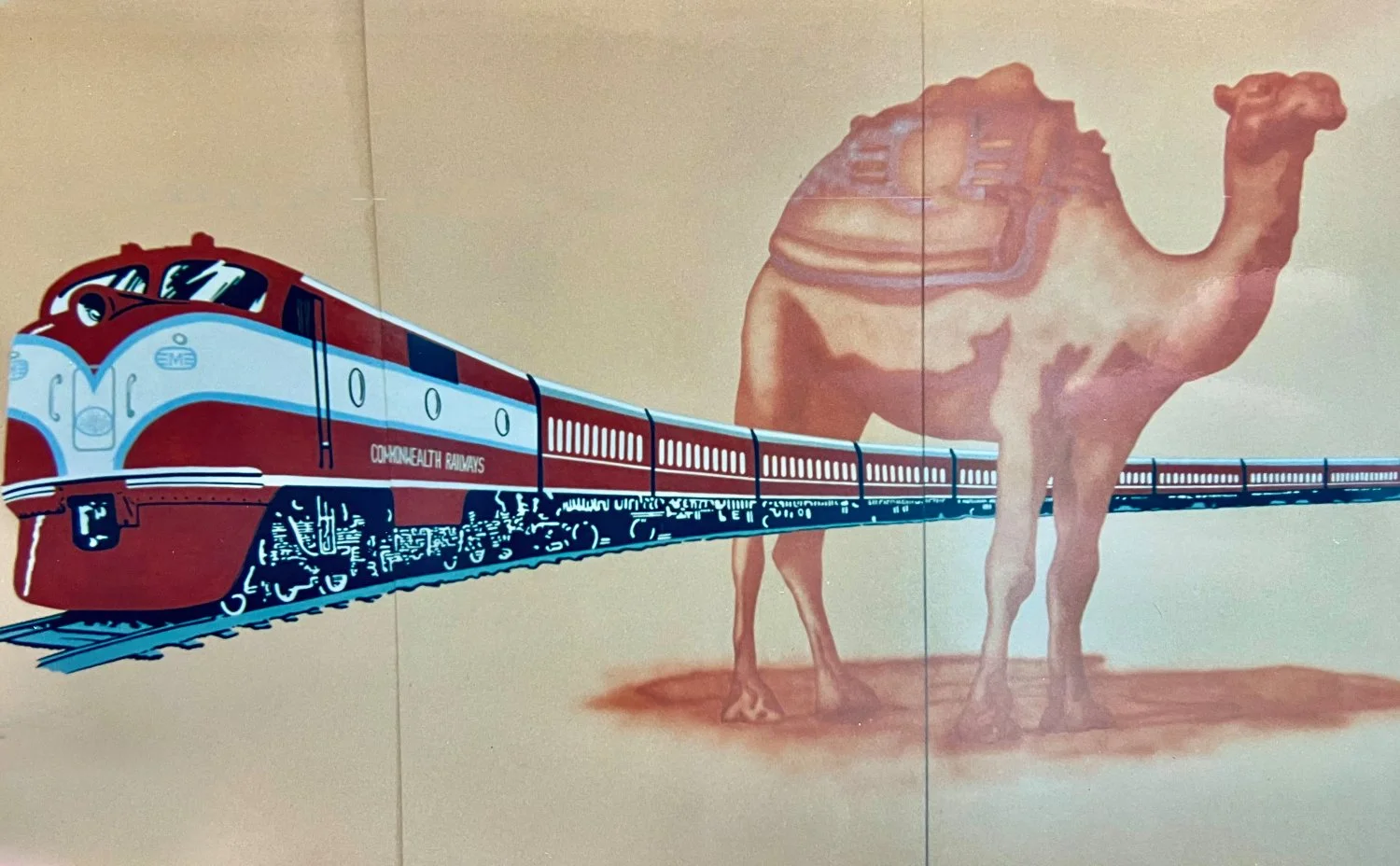
The Ghan Railway
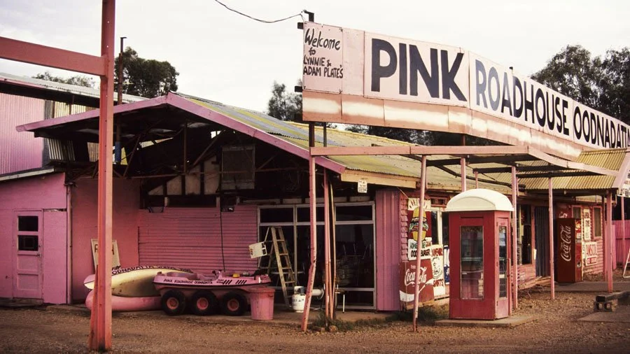
Pink Roadhouse
Coward Springs
**This month’s topic is thanks to RAW listener Brian O’Loughlin.
ARR RAW round-table discussions with motorcycle adventure travellers - featuring Grant Johnson, Sam Manicom, Shirley Hardy-Rix, Brian Rix, Michelle Lamphere and Jim Martin. RAW LISTENER QUESTIONS: Have a question for the RAW panel? Send it to us here.

Above Photos: Grant and Susan Johnson - Horizons Unlimited
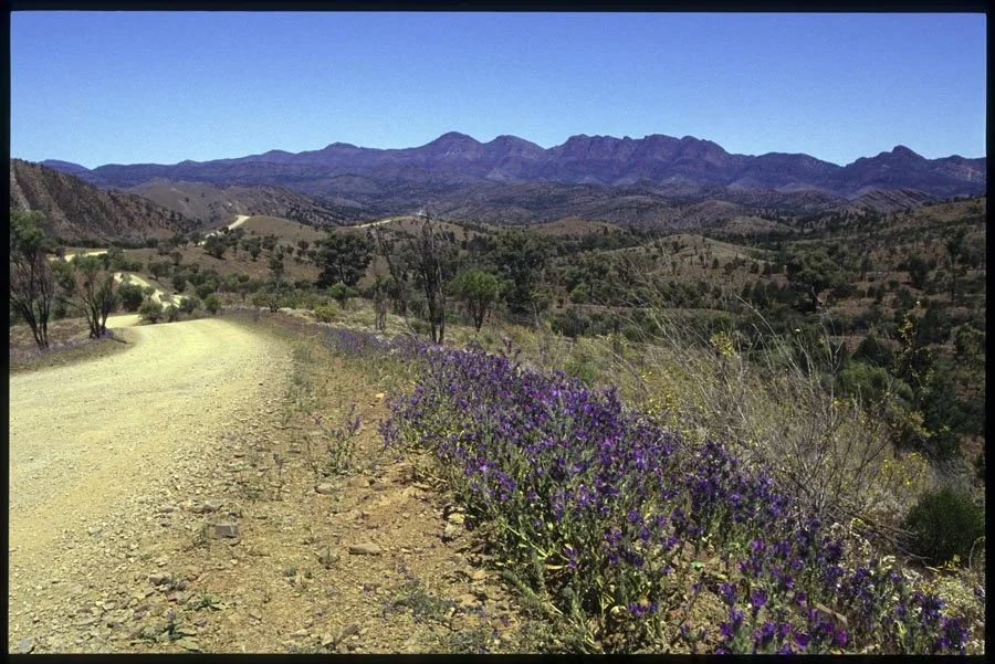
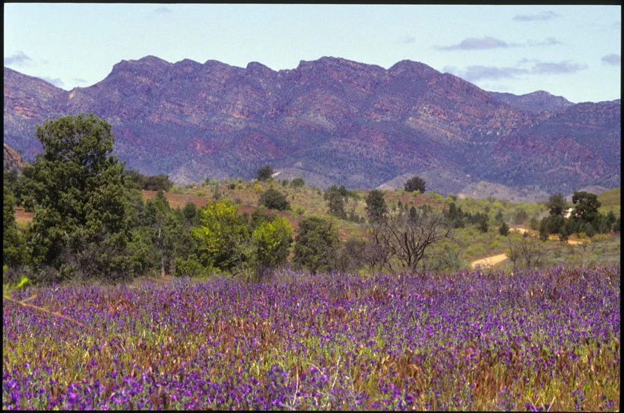
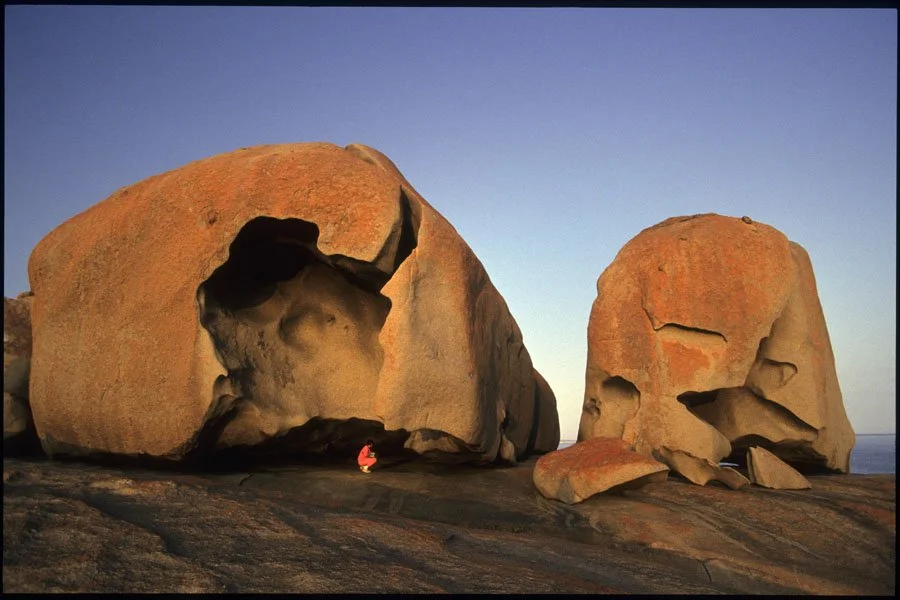
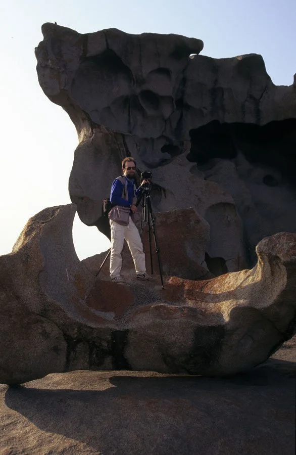
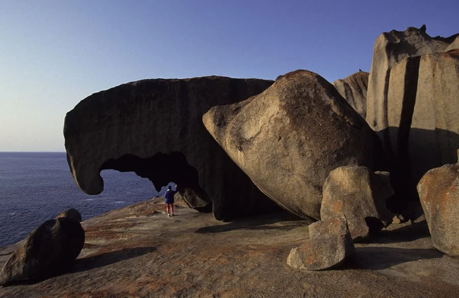
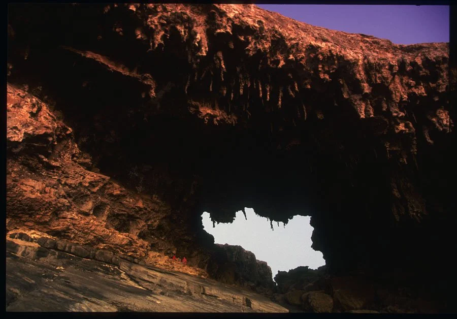
Above Photos: Michelle Lamphere
Sam Manicom’s Show Note Links:
CAMP SITE APPS:
WikiCamps: 22,000 campsites all over Australia. There’s an offline option - having phone reception or wifi. $7.99 price - for all the campsites at your fingertips.
Camps Australia Wide: Ideal for finding budget-conscious or free camping spots across the outback. It offers a premium app with offline maps and, in conjunction with HEMA maps, provides detailed information on locations.
Hipcamp: Focuses on finding unique, privately owned, or secluded spots which are great for avoiding crowds in the outback.
MAIN COAST TO COAST OUTBACK ROUTES:
The Outback Way (Winton/QLD to Laverton/WA): Difficulty: Moderate to Hard - 2,800km 1,677 miles Known as Australia's longest shortcut, this route traverses the center of the country, passing through Alice Springs.
The Nullarbor Crossing 4,000km (2,485 miles) (East Coast to Perth): A primarily sealed, coastal route taking the Eyre Highway across the Eyre Peninsula
ICONIC BACK ROUTES:
CANNING STOCK ROUTE, Western Australia - 1,850 km (1150 miles)
Difficulty: Extreme
One of the world’s longest and most remote tracks, the Canning Stock Route runs from Halls Creek to Wiluna.
Historic cattle trail - endless corrugations, sandy stretches, and scorching heat. Prepare thoroughly: fuel drops, spare parts, and survival gear are non-negotiable.
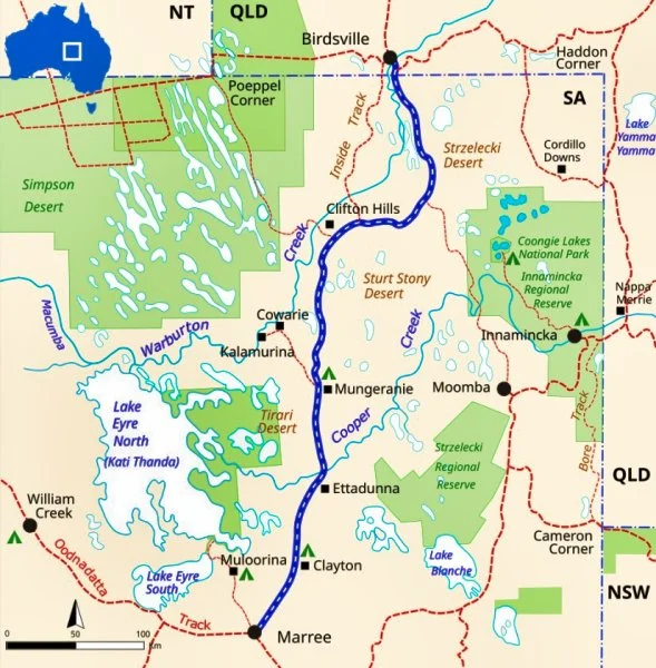
THE BIRDSVILLE TRACK 517-km (322 miles)
Difficulty: Moderate to Hard - unsealed outback route connecting Marree in South Australia to Birdsville in Queensland.
Traversing the Tirari, Strzelecki, and Sturt Stony deserts, it features rugged terrain, sand dunes, and gibber plains, typically requiring 2-3 days though it is generally well-maintained.
Conditions: Unsealed, gravel/dirt, and can change rapidly
Best Time to Visit: Cooler months from April to October.
Preparation: Essential to carry adequate food, water, fuel, and supplies, as services are limited to the start/end points and the Mungerannie Hotel.
SIMPSON DESERT CROSSING, SA/NT/QLD Distance: 500 km (311 miles)
Difficulty: Hard
Crosses three states. 1,100 red sand dunes Start at the legendary Pink Roadhouse in Oodnadatta for final supplies top up. The shifting dunes and extreme temperatures demand a reliable bike and sharp navigation skills.
OODNADATTA TRACK South Australia Distance: 617 km (384 miles)
Difficulty: Easy
Follow this historic Outback route from Marree to Marla, passing the iconic Pink Roadhouse at Oodnadatta.
GIBB RIVER ROAD, Western Australia Distance: 660 km (410 miles)
Difficulty: Moderate
Traverse the Kimberley’s heart on this rugged route dotted with river crossings and gorges. While not technically demanding, the corrugations and remoteness require endurance.
LAKE EYRE CIRCUIT, South Australia Distance: 300 km (187 miles)
Difficulty: Moderate
Ride the edge of Australia’s largest salt lake, a surreal landscape that floods occasionally. The hard, flat surface allows for speed, but remote conditions mean you’ll need extra fuel and water.
TELEGRAPH TRACK, Cape York, Queensland Distance: 150 km (93 miles)
Difficulty: Hard
Part of Cape York’s Old Telegraph Line, the Telegraph Track is infamous for its river crossings and mud. Highlights like Gunshot Creek (a near-vertical drop).
Dry season visits (June–September) – muddy bogs - out of that time
GREAT DIVIDING RANGE – 2,300-mile mountain range separating Australia’s east coast from the outback.
Difficulty: Easy
The third largest mountain range in the world and runs almost along the entire length of the east coast.
Paper Maps/Atlases:
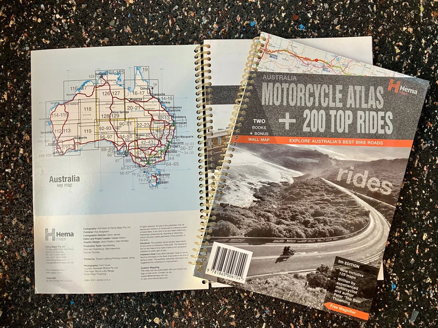
Hema Motorcycle Atlas – 200 top rides
Hema Australia 4WD Atlas & Guide: Widely considered the best for comprehensive coverage of 4WD tracks and regional roads.
Hema Great Desert Tracks Series: Essential for desert crossings (e.g., Simpson Desert).
Westprint Maps: Excellent, detailed, and waterproof maps, particularly for specific remote areas.
Outback Traveller’s Track Guides: Highly detailed, focusing on specific, iconic routes.
Digital & GPS Apps:
Hema 4WD Maps App: Features a massive library of offline-capable, field-checked maps for mobile and PC.
ExplorOz Traveller: Highly recommended for 4WD navigation.
NewTracs: Specialized for finding, creating, and sharing 4WD tracks.
GaiaGPS: Excellent for detailed topographic data, particularly for hiking and adventure riding.
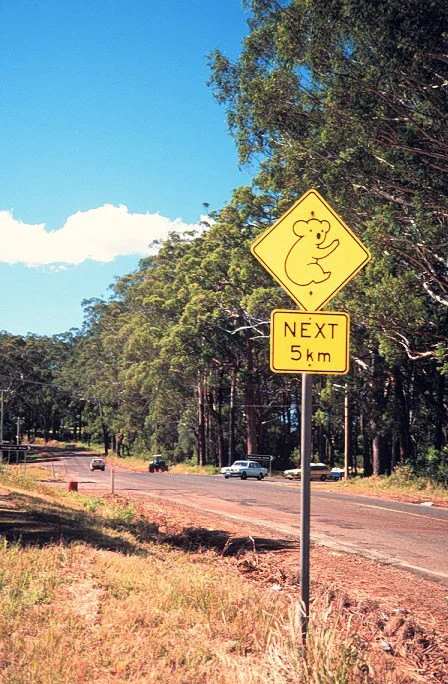
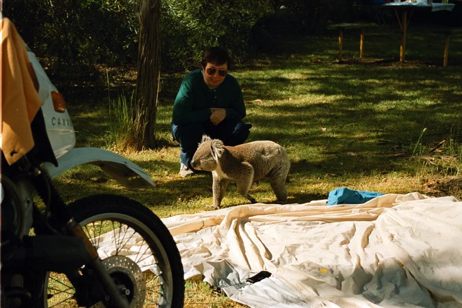
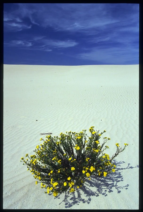
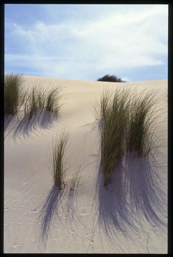
Above Photos: Sam Manicom
Many Thanks to this Month’s TOP ONE-TIME SUPPORTERS!
Stuart Smythe
Gregory Dietz
Gary Durfey
Robert Tymchuk
John Lavey
Doug Ooserhouse
Ed and Elisa — xfiltrate motorcycle parking Buenos Aires
John Ciribassi — Emmaus MotoTours